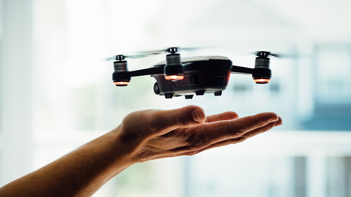
Among the many changes that the COVID-19 pandemic has brought with it includes an increase in the prevalence of virtual real estate tours. Despite many buyers adhering to safer-at-home guidelines, most real estate markets have remained unbelievably strong, with some buyers purchasing their homes “sight unseen” thanks to the high-quality photos and videos made available during virtual home tours. To this effect, no modern technology can aid in virtual home tours quite like drone photography. With the ability to get a truly 360° view of the home and capture the property from any angle, drone photography can paint a picture of the home that not even an in-person visit can match. The following breakdown looks at some of the unique ways that you can utilize drone photography to enhance a virtual home tour.
1. Drones can scan every inch of the roof
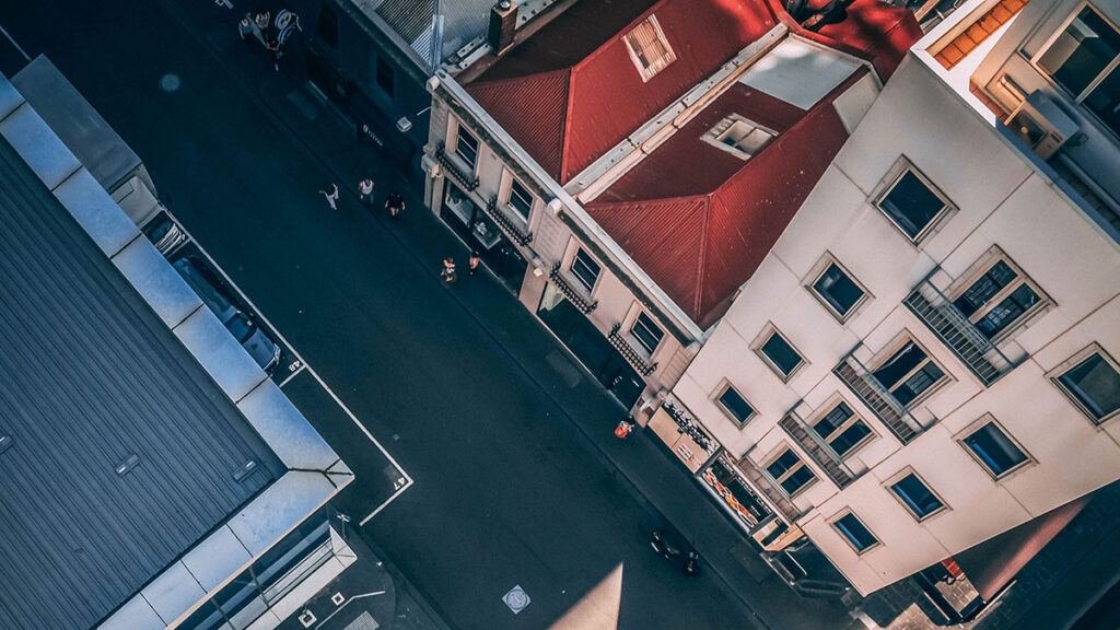
Even though the roof is one of the most essential elements of a well-built home, it often gets overlooked during many real estate tours, both virtual and in-person, simply because it is inconvenient to get on top of the house. As such, a home may claim to have impact resistant shingles or other high-quality materials on the roof, but it can be difficult to verify without climbing a ladder to check. Enter drone photography. Not only can drones hover above the home to give you a bird’s-eye view of what the roof looks like in its entirety, but high-quality still-shots allow you to zoom in on suspect areas and determine if the roof has any cracks, blisters, or raised shingles that may open the door for a leak to arise.
2. Aerial photos solve problems of scale
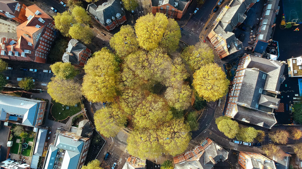
One of the most significant challenges of virtual home tours is visualizing the home in its real-life scale. No matter how high-quality the pictures are, or how descriptive the content that accompanies the pictures, it is still hard to fathom how big the home is without seeing it in person. When browsing through traditional photographs taken from the ground, viewers will likely be straining to see if there are any familiar objects in the shot that can help them get an idea of the home’s size. However, aerial shots taken by a drone leave nothing to the imagination. The home can easily be compared to:
- Surrounding trees
- Neighboring homes, and
- Other nearby structures to get a true sense of the house’s actual size.
3. Use drone photographs to plan your next renovation
One of the principal phenomena of the safer-at-home year that has been 2020 is that the home improvement and construction sectors have burgeoned like never before. With nowhere to go, people are spending money on their houses. As crazy as it may seem, some contemporary buyers are purchasing homes to give themselves something to do amid the uncertainty of the pandemic. When browsing listings, buyers are looking for fun, value-adding projects that certain properties can provide. What is the best house siding for this specific home? Should I select a specific trim for these windows? What other improvements can be made to enhance curb appeal?
Easy decision
The problem when planning renovations virtually is that it can be difficult to decide on what to do with a project. You cannot choose which driveway style to select without seeing how it leads into the garage. You cannot narrow down pergola design ideas without first knowing how it would mesh with the color of the deck and house siding. Drone photography effectively provides a solution to these concerns. Not only can aerial and angled photographs show virtual buyers how all aspects of the house, yards, driveway, and outbuildings work together, but they can also provide context as to how the property fits into the larger neighborhood and surrounding areas.
Closing thoughts
With the increase in virtual home tours stemming from the COVID-19 pandemic, drone photographs can provide an effective solution for allowing buyers to see everything they need to see. Capabilities such as scanning the roof, showing the home in its proper scale, and capturing surrounding areas to help plan for future renovations makes drone technology essential in a virtual real estate market.
Matt Lee
Related posts
1 Comment
Leave a Reply Cancel reply
This site uses Akismet to reduce spam. Learn how your comment data is processed.

[…] Even though you can best capture these elements from an aerial view, historic homes are likely to be surrounded by mature trees and shrubbery. If you can catch this footage when the plants are in full bloom, a drone can create quite an impression. […]